The Beidou-1 satellite positioning system is independently developed by China, utilizing geostationary satellites to provide users with an all-weather, regional satellite positioning system. It can quickly determine the target or user's geographical location, and provide navigation information to users and supervisory departments.
The Beidou-1 satellite positioning system consists of two geostationary satellites (800e and 1400e), one in orbit backup satellite (110.50e), a central control system, calibration system, and various user computers.
2 Comments
- Log in to leave a comment
-
345 MBXCV32+1 2.3 years ago
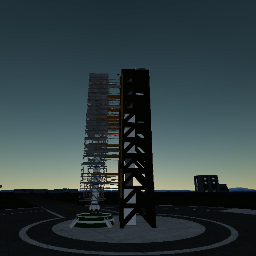
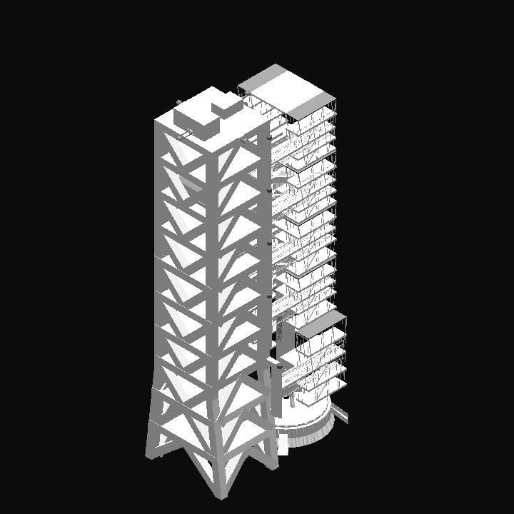
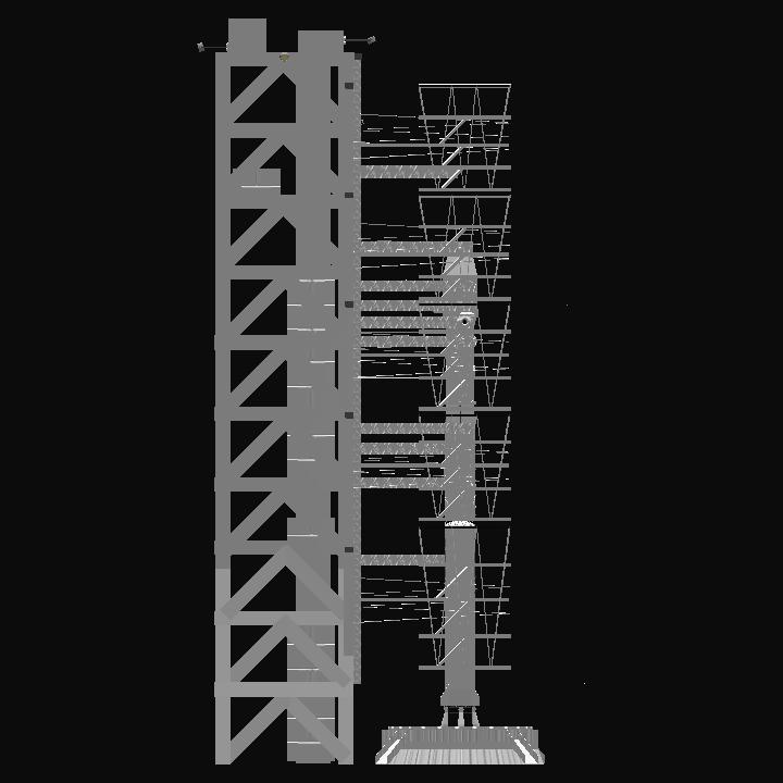
AG1 opens the first group of rotating platforms
AG2 opens the second group of rotating platforms
AG3 opens the third group of rotating platforms
AG4 opens the fourth group of rotating platforms
AG5 opens the fifth group of rotating platforms
AG6 opens all swing rods of the tower
AG9 solar panels and antennas


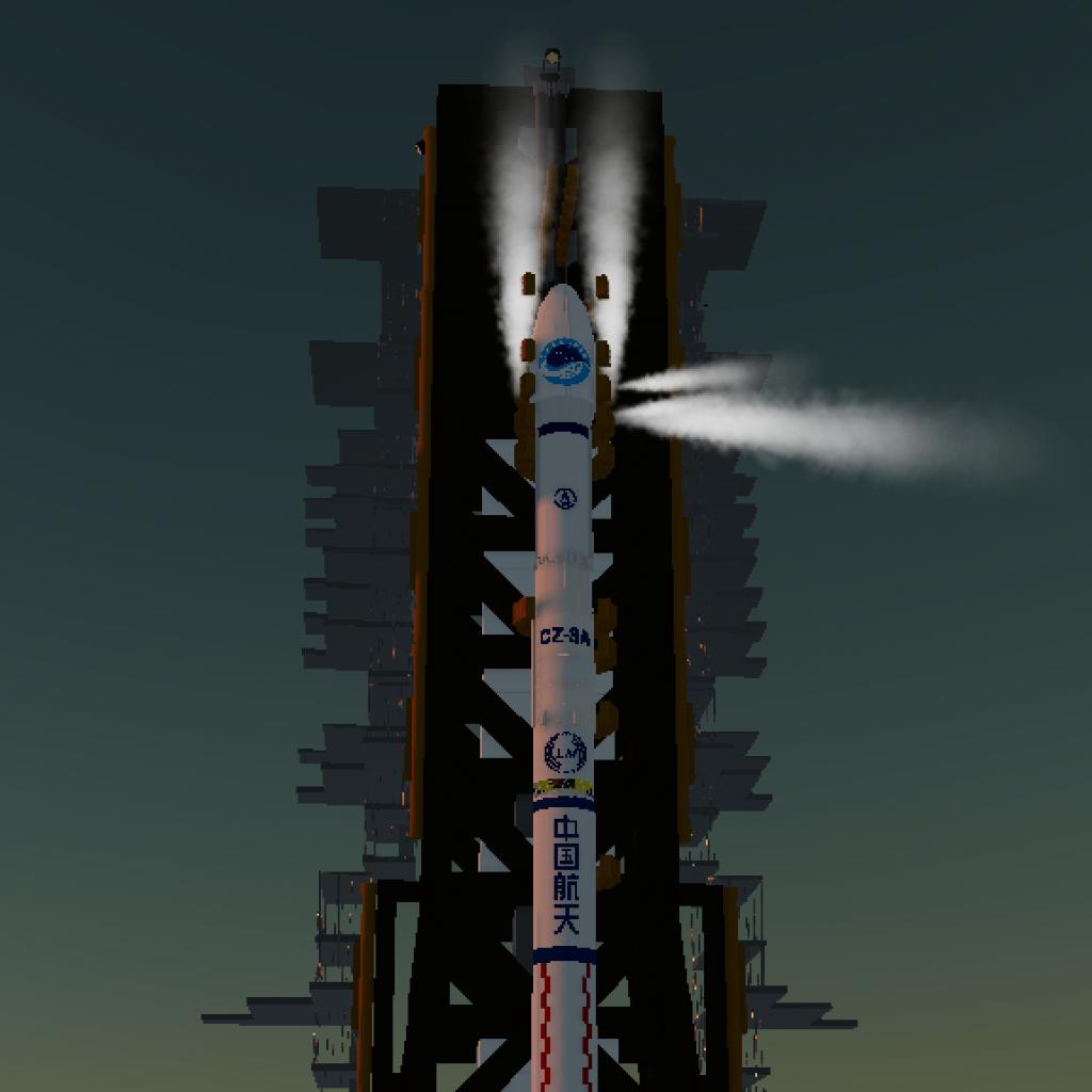
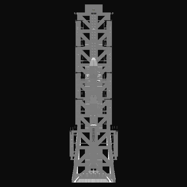
The Beidou logo comes from douquan