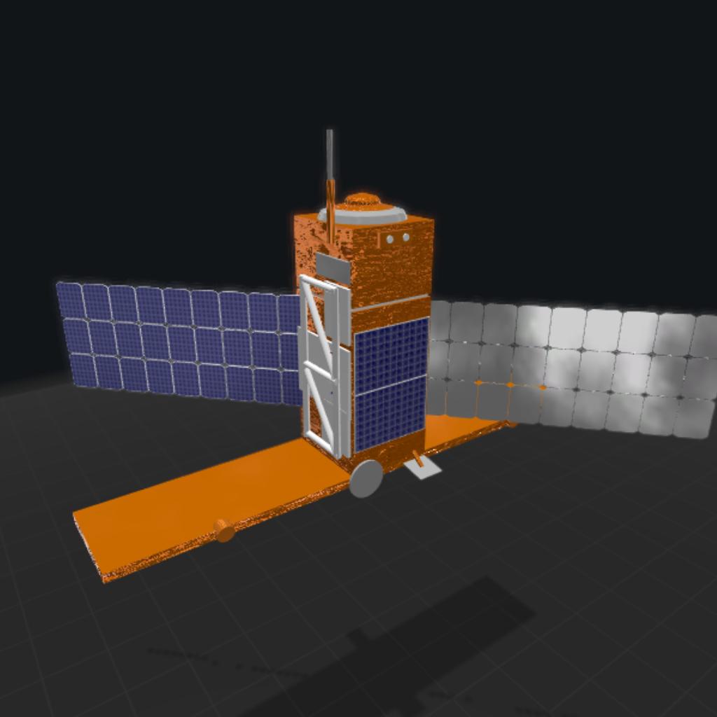
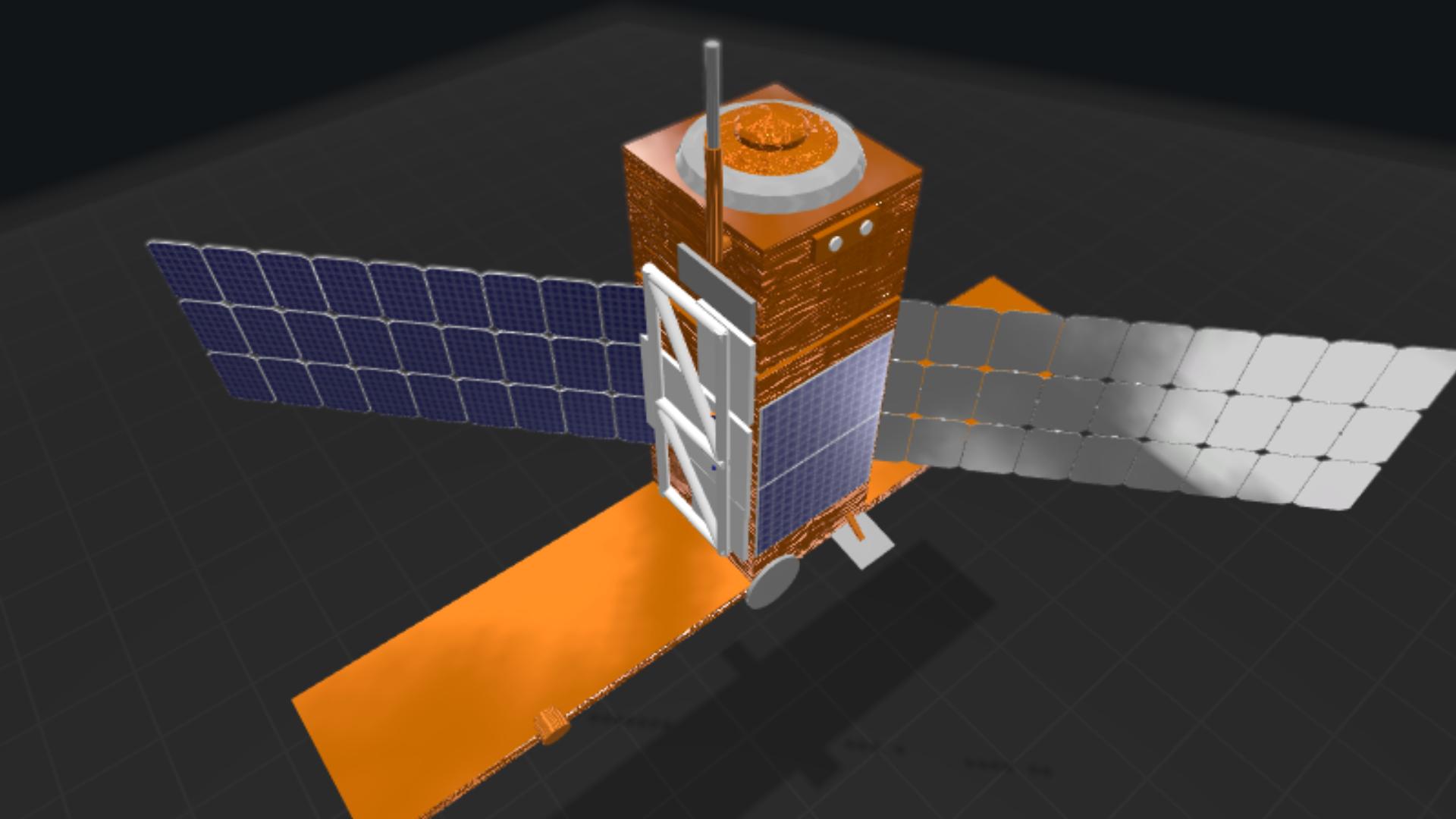
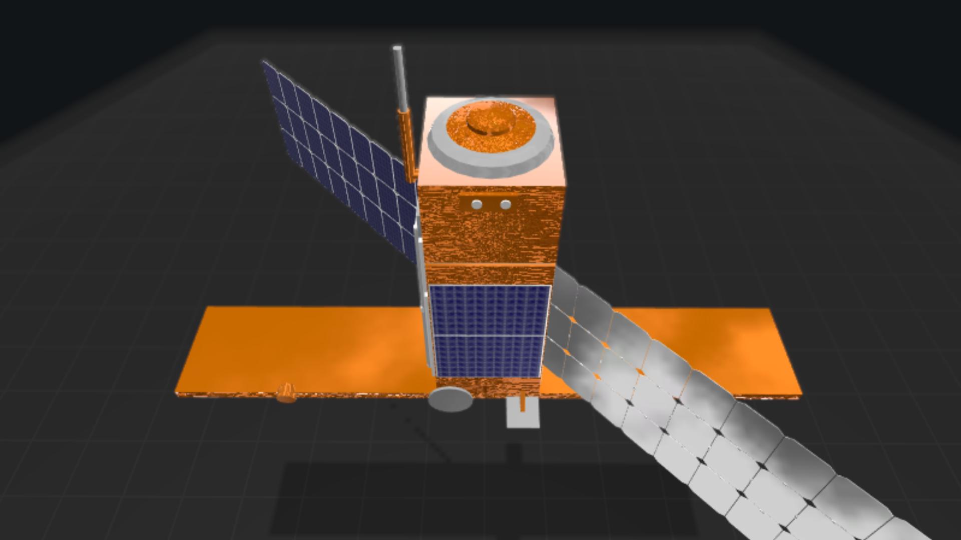
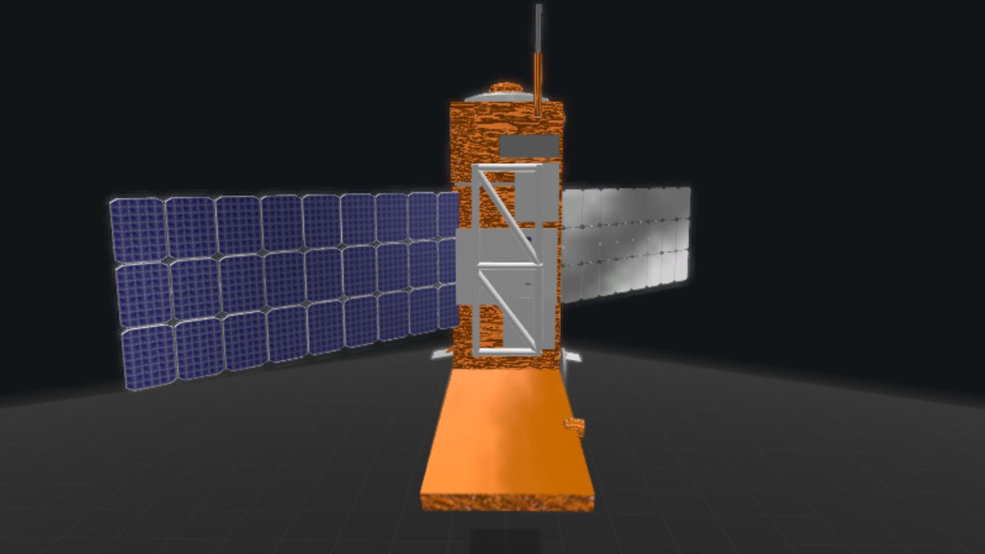
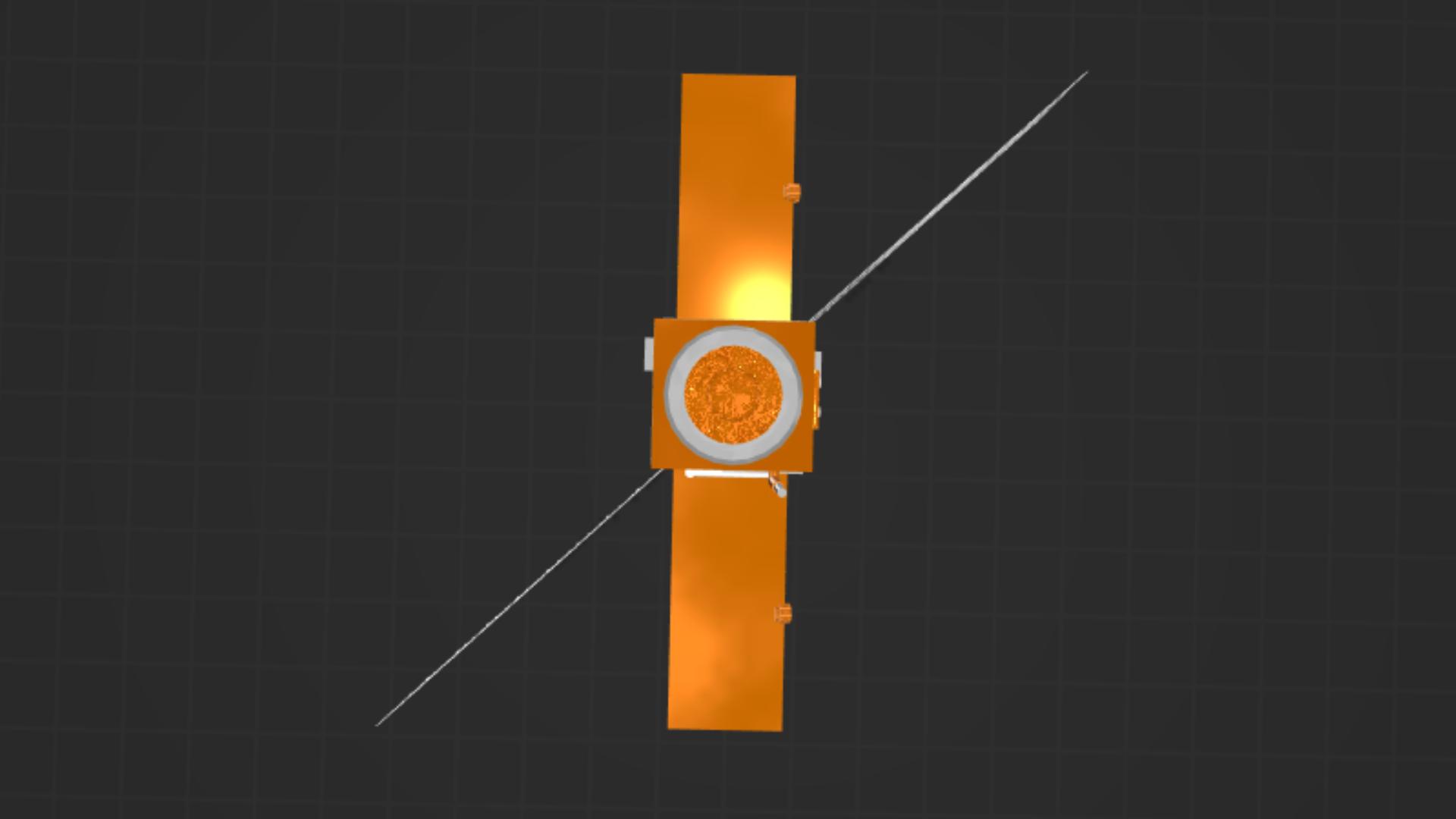
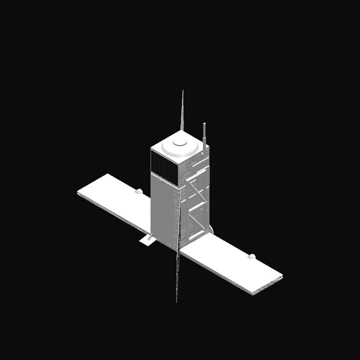
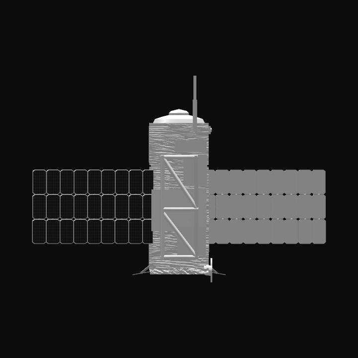
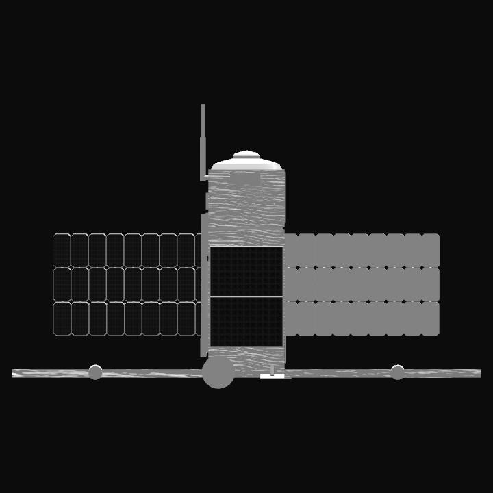
Sentinel-1 is the first of the Copernicus Programme satellite constellation conducted by the European Space Agency.[4] This mission is composed of a constellation of two satellites, Sentinel-1A and Sentinel-1B, which share the same orbital plane. They carry a C-band synthetic-aperture radar instrument which provides a collection of data in all-weather, day or night. This instrument has a spatial resolution of down to 5 m and a swath of up to 400 km. The constellation is on a sun synchronous, near-polar (98.18°) orbit. The orbit has a 12-day repeat cycle and completes 175 orbits per cycle.
The first satellite, Sentinel-1A, launched on 3 April 2014, and Sentinel-1B was launched on 25 April 2016. Both satellites lifted off from the same location in Kourou, French Guiana, and each on a Soyuz rocket.[5] Sentinel-1C and 1D are in development with launch dates to be determined.
There are a wide range of applications for the data collected via the Sentinel-1 mission. A few of these uses include sea and land monitoring, emergency response due to environmental disasters, and economic applications. A major goal of the mission was to provide C-Band SAR data.[6]Recently, Sentinel-1 has worked in conjunction with SMAP (Soil Moisture Active and Passive) to help achieve a more accurate measure of soil moisture estimates.[7] Observations from both instruments show to be complementary of each other as they combine data of soil moisture contents.
The ESA and European Commission's policies makes Sentinel-1's data easily accessible. Various users can acquire the data and use it for public, scientific, or commercial purposes for free.
Source From Wikipedia

