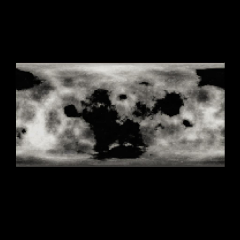
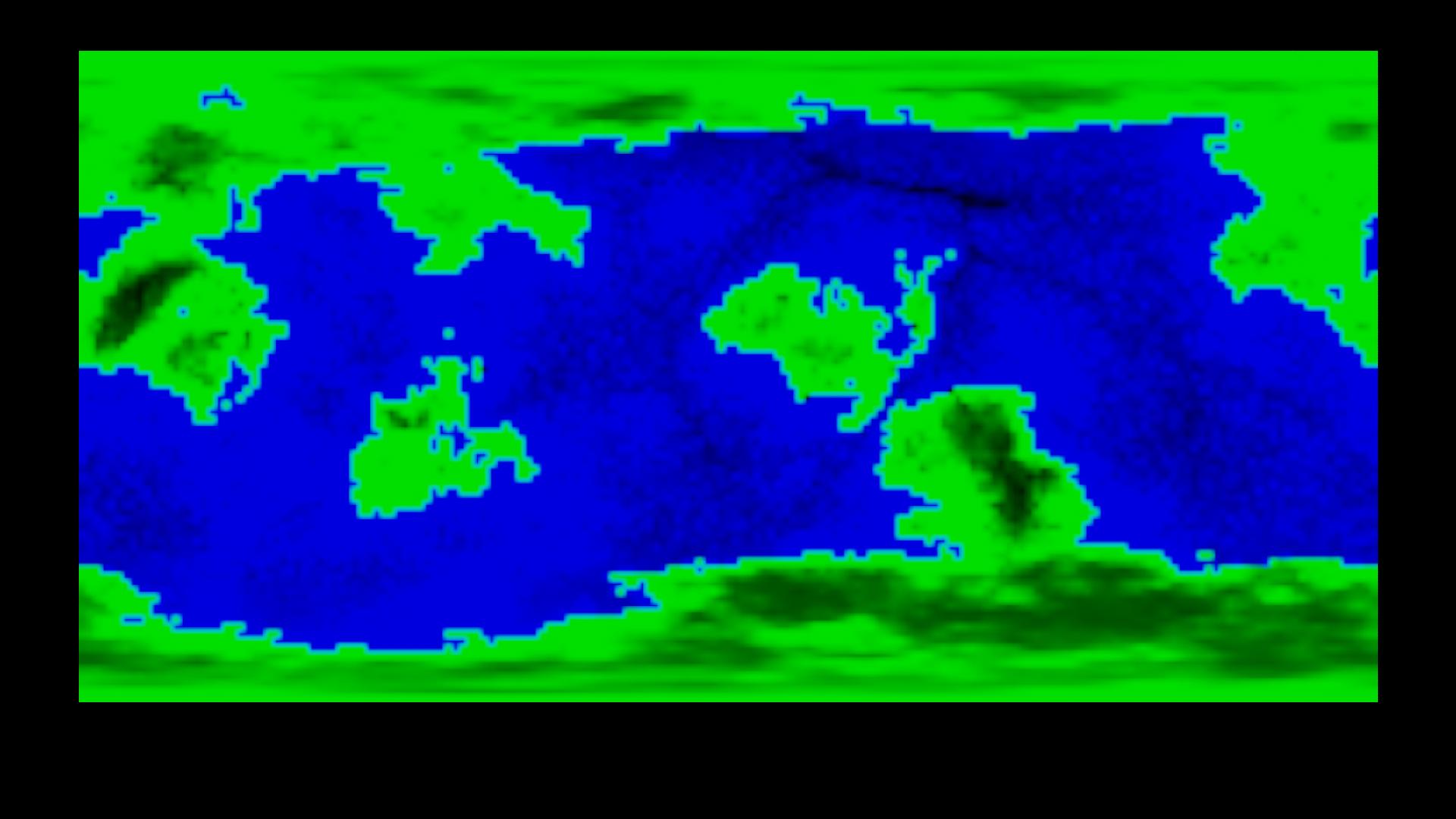
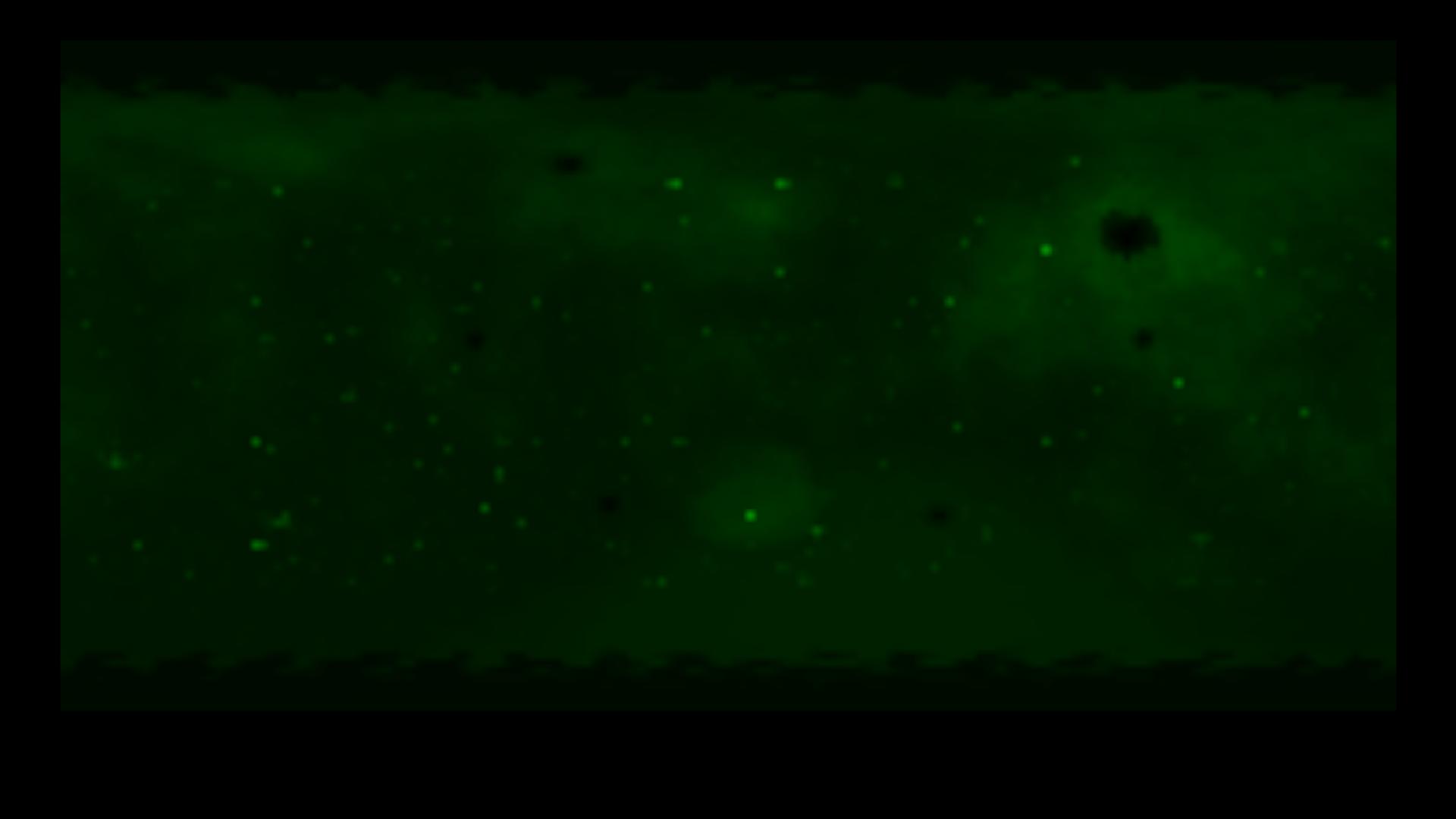
This craft can generate maps of any object (planets, moons, stars) in JNO (including mods). It works by scanning the planet and setting each individual pixel on the MfD to represent the height or the color of the terrain. This method is quite slow, it will probably take a minute on most devices, but if you're willing to tinker it, you can change the iterationsPerFrame to make it faster (1000 works really well, it only takes 1-2 seconds that way). Also, this gives you many new possibilities of visualizing tracks, adding markers and much more. All maps have a resolution of 181 × 91 px.
Currently, the vizzy is capable of generating two types of maps:
Map:
A normal map. To generate a map, the vizzy scans the terrain colors of the planet and shows the same color on the MfD.
Height Map:
A map representing the terrain height. It scans for the terrain heights and calculates a color that is drawn on the MfD. Green means over sea level, blue means sub sea level. Darker colors represent mountains (or deep sea), lighter colors represent flat land (or shallow sea).
The pictures:
1.: Luna (Map)
2.: Droo (Height Map)
3.: Cylero (Height Map)
This is the second small project to fill the gaps between main uploads, maybe I'll use it to show the path of the advanced submarine autopilot. Feel free to share your ideas for new map features in the comments.
Tank you for downloading!

