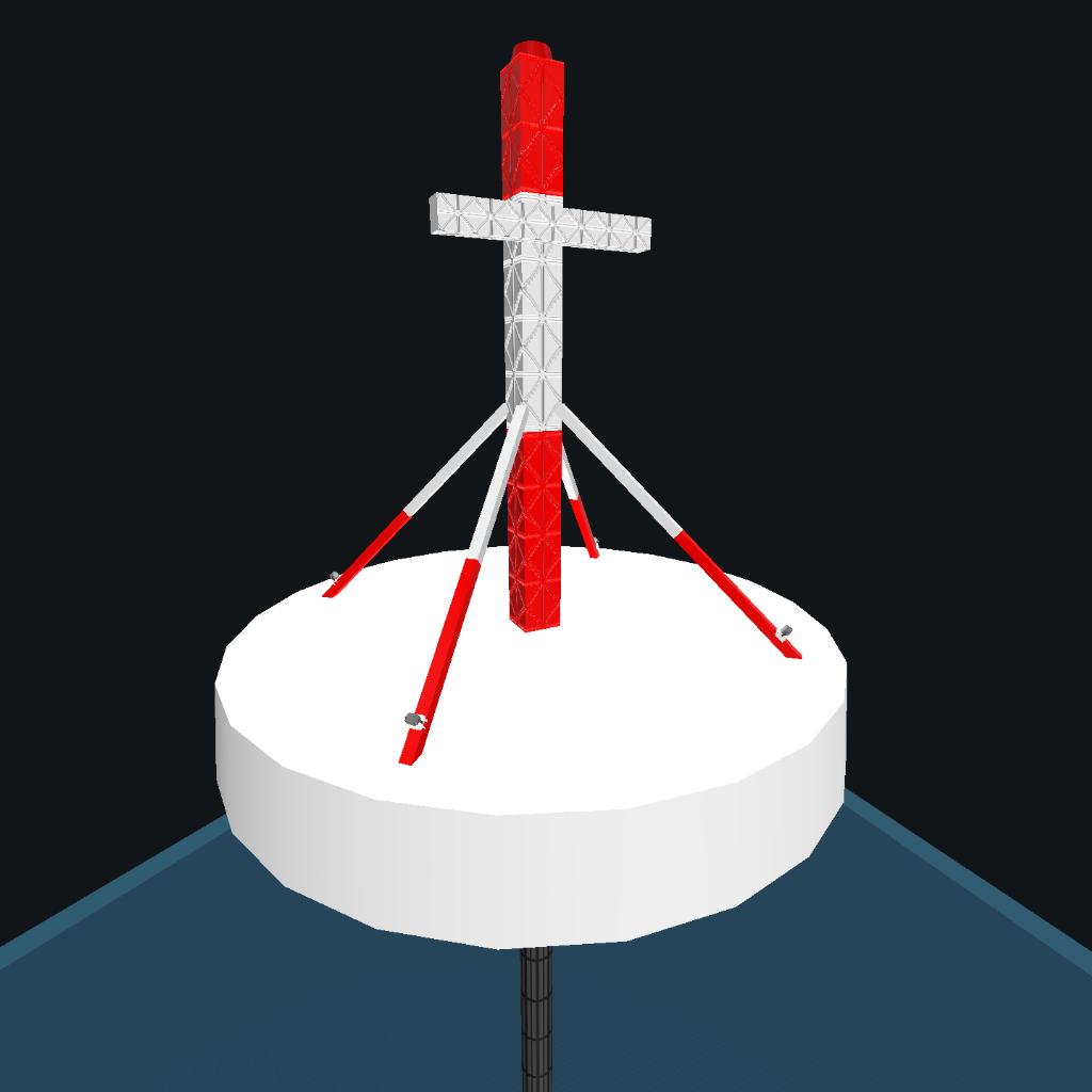
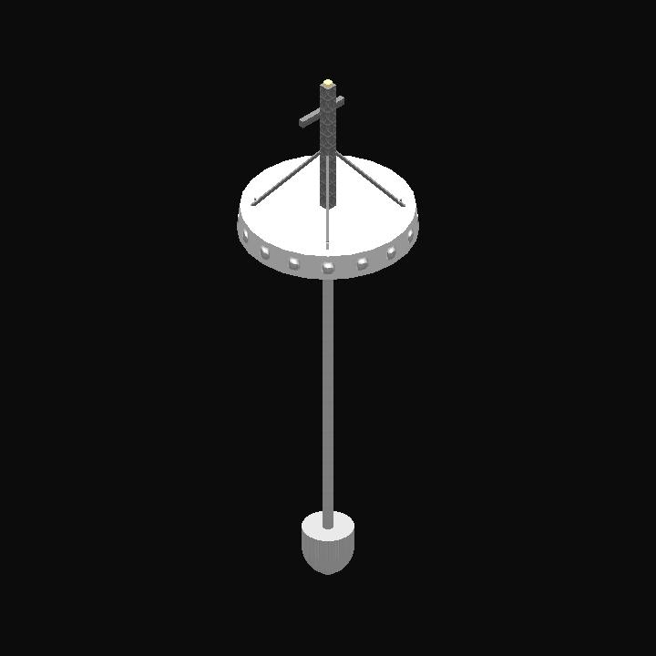
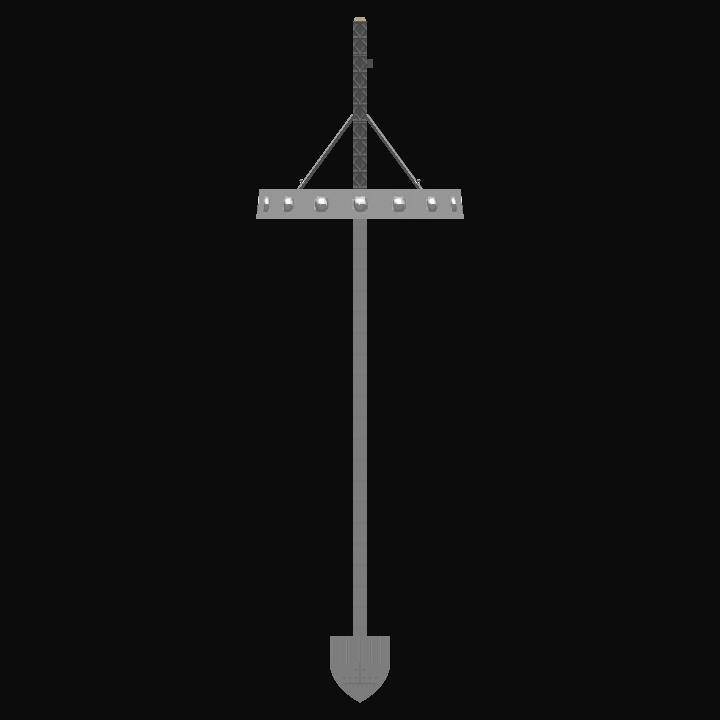
Auto Credit Based on KraZIvan's Navigation Beacon [DME] Ground Station
This buoy is meant to map the oceanic deep to find the deepest point around.
AG1 to launch the survey. You will have to select the grid size in degrees (1° is approximately 22 km) and the program will measure 10000 point to find the deepest one on a grid x° wide centerd around the buoy.
GENERAL INFO
- Predecessor: Navigation Beacon [DME] Ground Station
- Created On: Android
- Game Version: 1.0.909.1
- Price: $1,451k
- Number of Parts: 22
- Dimensions: 20 m x 6 m x 6 m
PERFORMANCE
- Total Delta V: 0m/s
- Total Thrust: 0N
- Engines: 0
- Wet Mass: 8,574kg
- Dry Mass: 8,574kg
STAGES
| Stage | Engines | Delta V | Thrust | Burn | Mass |
|---|
No Comments
No Upvotes
Log in in to upvote this post.


