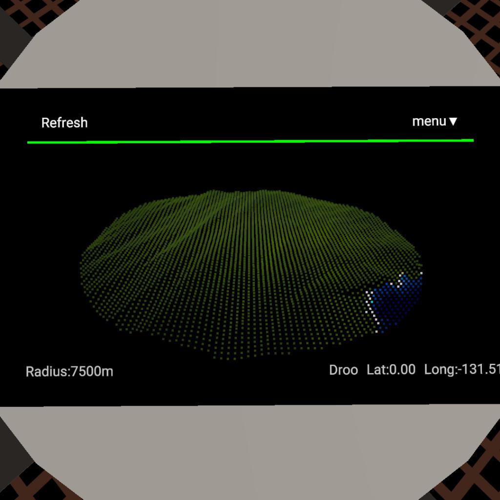
A simple terrain scanner,There are two modes,Contour and ground,You can put it on your other work,Please Don't let it be completely horizontal,Please leave your up,thanks
Please Don't let it be completely horizontal
Please Don't let it be completely horizontal
Please Don't let it be completely horizontal!


Comments
76 Upvotes
Log in in to upvote this post.


@XIAOHUOZI It was my mistake.
Is it running slowly or my mistake?
Nice.
I can't view the code for this thing.
@Pejayous I don't know,All I know is it's buggy.
why can it not be horizontal???
No way man, this is so cool and usefull!
Cool!
Thank you for this piece of engineering 🙂
@MasterOfNone Thank you for your UP and praise!
@bspawn No body know MFD than me.
Oh, that's a joke,even though I'm trying to make it better with my best and made a lot of changes,but this still looks bad.I'll be more careful in the future.
Awesome 👍☺️
@plane918273645 I just downloaded your craft which is similar to mine.That's excellent! and I'm trying to follow your logic in vizzy. moreover you're not the only one who can do this now ,But you're the first!
I was busy studying so I don't often keep online
If you learn more about Multi-Function Display, your GIS can be made to run 10 times faster.
Hey are you aware of the work I have done? I like your approach to this topic. Why so hidden also I haven’t seen anything on discord and haven’t even heard of this craft until I spotted it today! @TridentLaogou
@Vedhaspace I will try my best to realize my idea,Thank you for your support.
nice!
good job!
hope you would do some more : )
@TridentLaogou thank you! I am bad at MFD’s
@TweedleAerospace Of course ,It's my pleasure.
@TridentLaogou could I use this on a craft?
wow 👏
Fabulous!!
it's impressive
Good job
@EffIcentRocketEngineering Thanks very much