


A project I have been working on for a while...
This is an MFD that allows you to map the planet it is launched on, vastly improved over a previous similar MFD of mine. This requires satellites in orbit to work, and has 3 main mapping modes.
Satellites
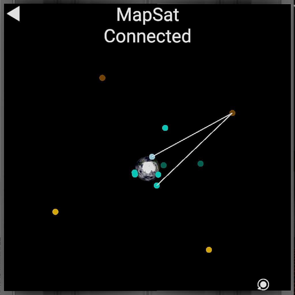
First, satellites are required for sensing. The program will identify these as any satellites in orbit with 'Map' in the name (no quotes), and allows you to get planet data below the satellite.
The MFD will only connect to satellites within the line of sight. To connect to satellites below the horizon, you will need communications satellites to relay the 'signal'. These satellites are identified by having 'Com' in their name. An example I used was 4 satellites in droosynchronous orbit, spaced 90° apart. This allowed complete coverage, as the Comsats were high up. The last image shows an example of an advisable constellation to use.
Maps
There are three main map types: slope, height, and visual. You can navigate between maps by dragging the equirectangular map right or left, and you can edit the settings of any map with the panel below the map. Click the coloured square to change colours, the circle to toggle settings, and the text to change numbers.
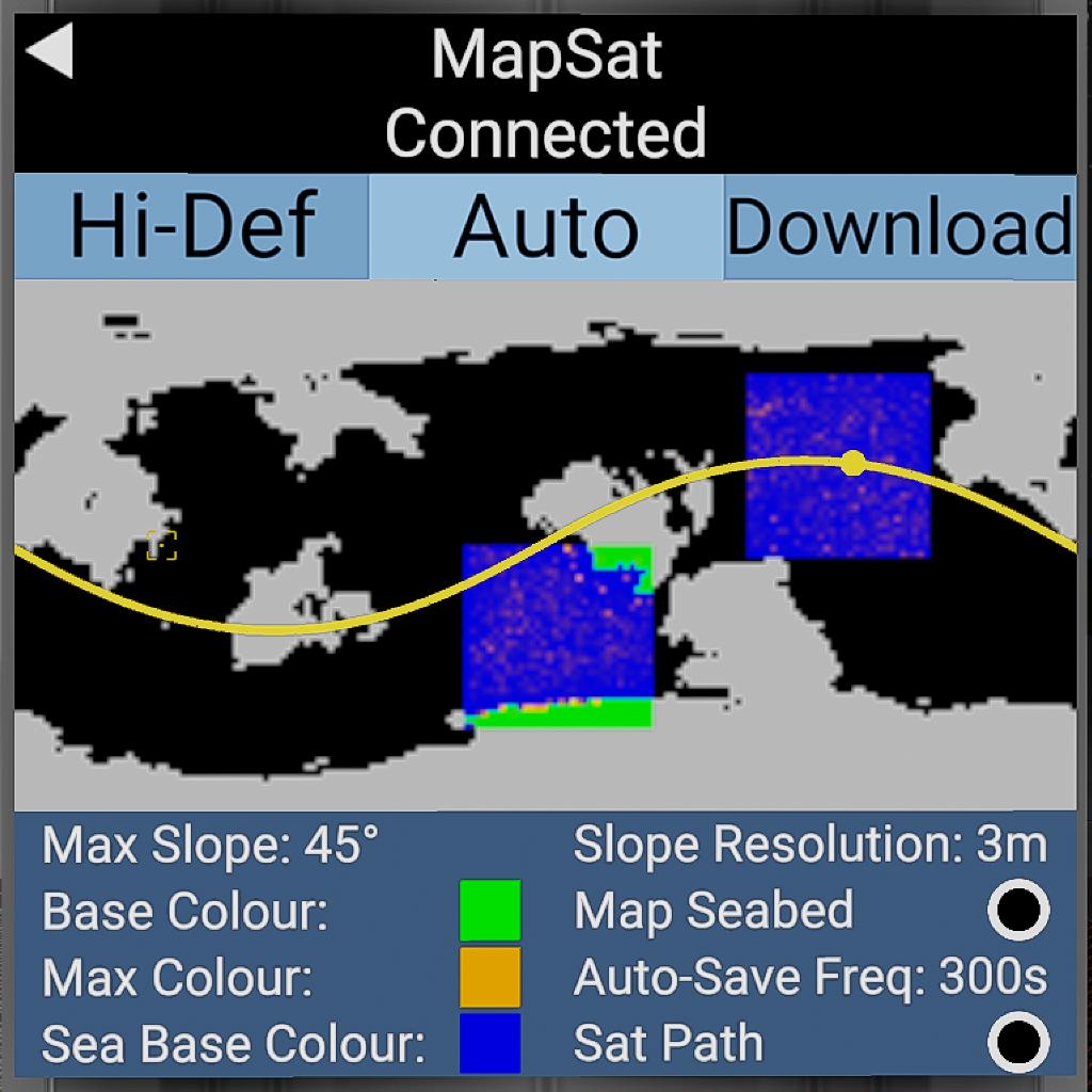
Slope Map
The slope map will return the slope at points on the surface. The colour palette used for the data can be freely edited with the user interface, as well as the maximum slope which will be shaded with colour.
Height Map
The height map will return the height of points on the surface. The colour palette is editable, as well as the maximum and minimum heights used for shading.
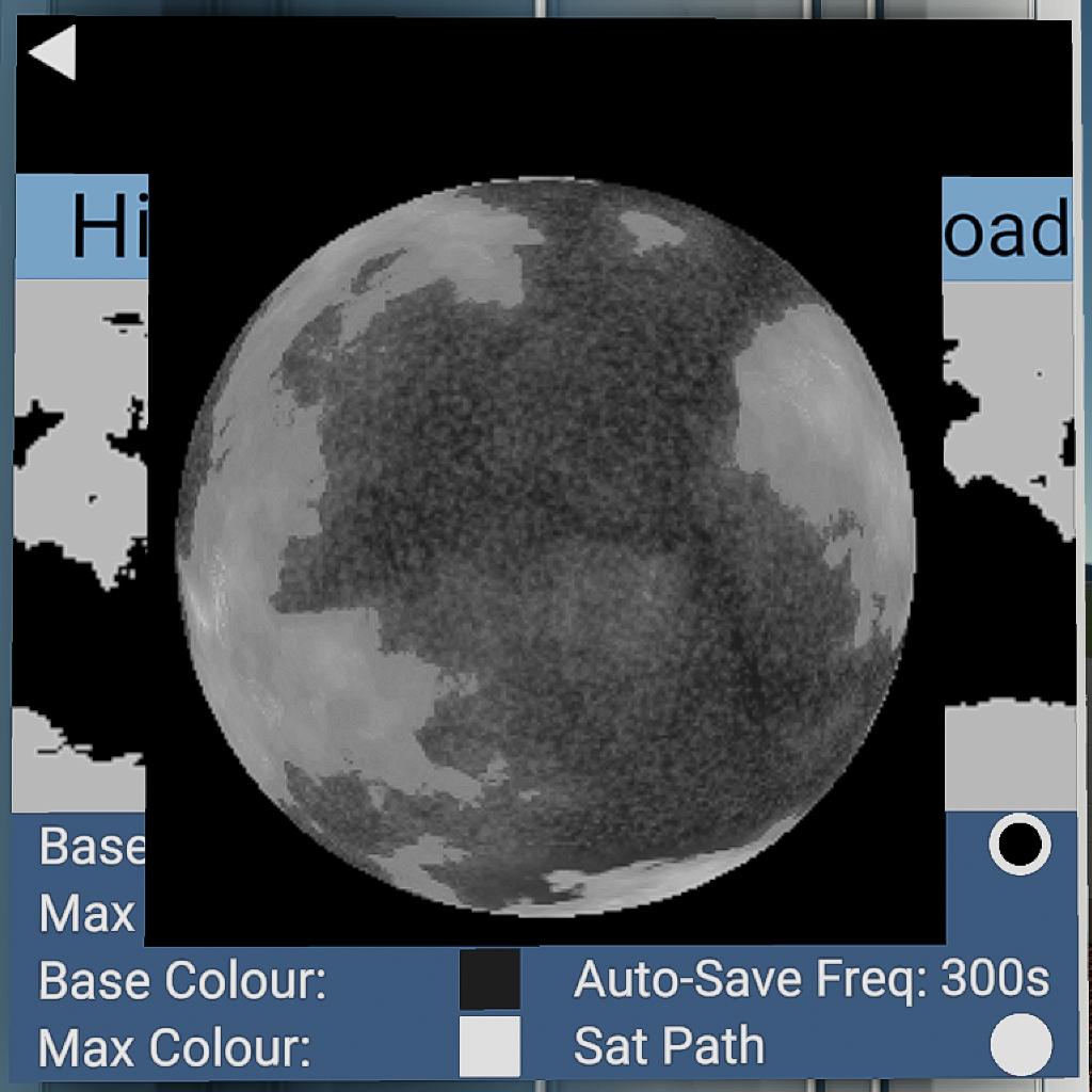
Visual Map
This shades the map with an appearance similar to the naked eye. The amount of light used, as well as shading with relief (mountains) and sunlight is editable.
Download types
Download
This is the normal download. The base equirectangular map below the satellite will be updated.
Auto
Similar to download, but downloads automatically, saving you from having to constantly click
Hi-def
This generates a separate image with a custom field of view and resolution, allowing you to view the planet all at once, or zooming right into the ground right below the mapping satellite, to see detail.
Notes
- This MFD is XML-edited to allow for more widgets and more instructions per frame. It is advisable to save it as a subassembly rather than a program.
- After a large amount of time, the orbit line and satellite may de-synchronise. Exiting and re-entering the maps will fix this.
- The MFD has a moderately large initial loading time. There isn't really a way around this.
- The maximum resolution allowed in the program is 256. If you want higher, you will have to XML-edit the MFD's limit higher, then change the 'ResMax' variable in the program to the new limit.
GENERAL INFO
- Created On: Windows
- Game Version: 0.9.802.0
- Price: $1,579k
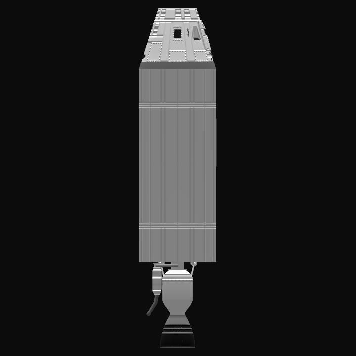
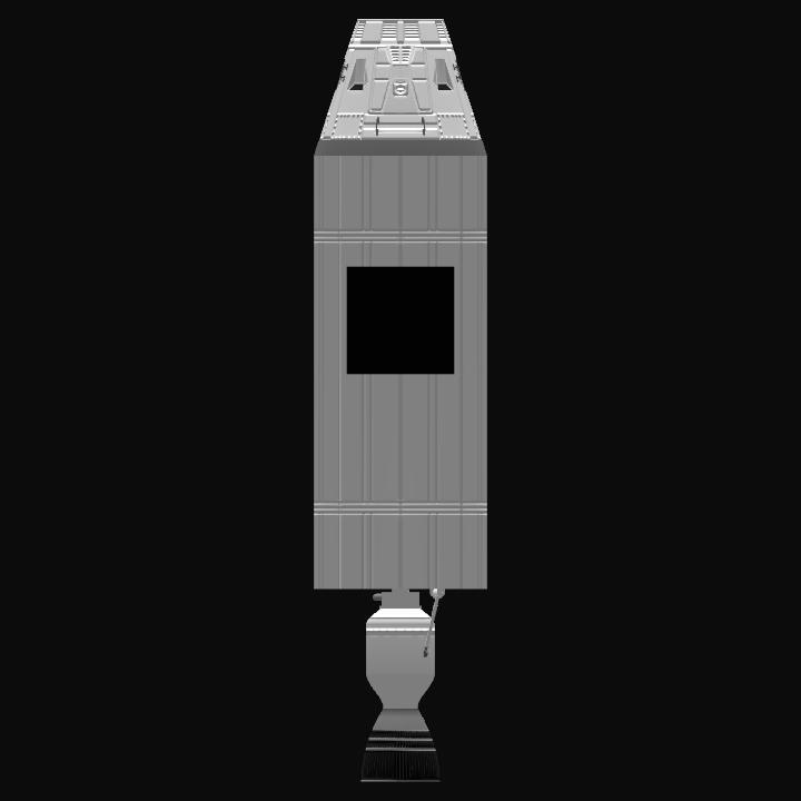
- Number of Parts: 4
- Dimensions: 9 m x 2 m x 2 m
PERFORMANCE
- Total Delta V: 3.6km/s
- Total Thrust: 377kN
- Engines: 1
- Wet Mass: 11,218kg
- Dry Mass: 2,406kg
STAGES
| Stage | Engines | Delta V | Thrust | Burn | Mass |
|---|---|---|---|---|---|
| 1 | 1 | 3.6km/s | 377kN | 55s | 11,218kg |
Question, do you reckon you could make the high res download its own seperate thing, without requiring a satellite?
@SACSpace
Read the "Satellites" section, what you need is described there
How I make the connection?
@QarabinaKa
Hello
I did some research on this masterpiece and got results from it.
so i really like to share the results and let others discuss them.
https://www.simplerockets.com/Forums/View/172102/GIS-Program-report
it is my forum and I posted a few months ago and concluded the inputs. so please tag or pin it so that everybody can have fun there.
thank you
@QarabinaKa I Have a request. I would like to talk it privately
@Nathan1220
Why?
@QarabinaKa Do You Have A Discord? If Yes, Then What Is It
@QarabinaKa
Now that’s definitely my style! Thanks bro!
@FelixFan1
If it has eitherof the defining names, yes
Does this mean that I could have a nuclear bomb orbiting Droo and still get the satellite connection?
This is:
1) Incredibly cool
2) Incredibly Useful
Amazing
alright thanks
@QarabinaKa
@Zenithspeed
Forgot to mention one thing. There should be two variables in the program that allow you to change the letters used to identify satellites.
Should work great in the newest and best RSS there is the one by AXmSpace lol can't wait to see it work I like the com link I'm suprised you don't use cam as well.
thanks
@QarabinaKa
Otherwise, it just detects if the mapping satellite is above the atmosphere
@Zenithspeed
It should work with any name, so long as Map is in the name.
just wanted to ask about the map satellites: can they be any craft that's named Map or does it have to be something of specific styling? (kinda dumb question but still)
so nice
Cool
incredible
Very cool!
Amazing 👏👏
@QarabinaKa don't you remember? In the SRC you had helped me a lot.
I need a help so dm me
@DragonTech Thanks
@DareDevilSpaceAgency What for?