


 ABOUT THE SATELLITE
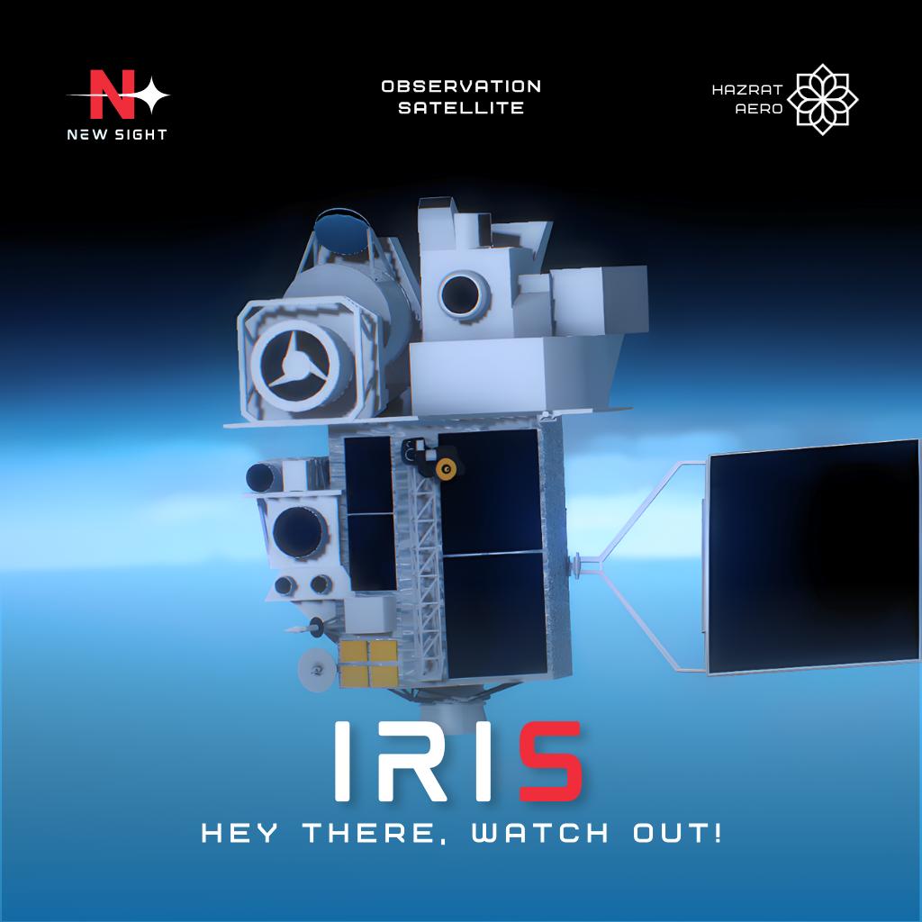
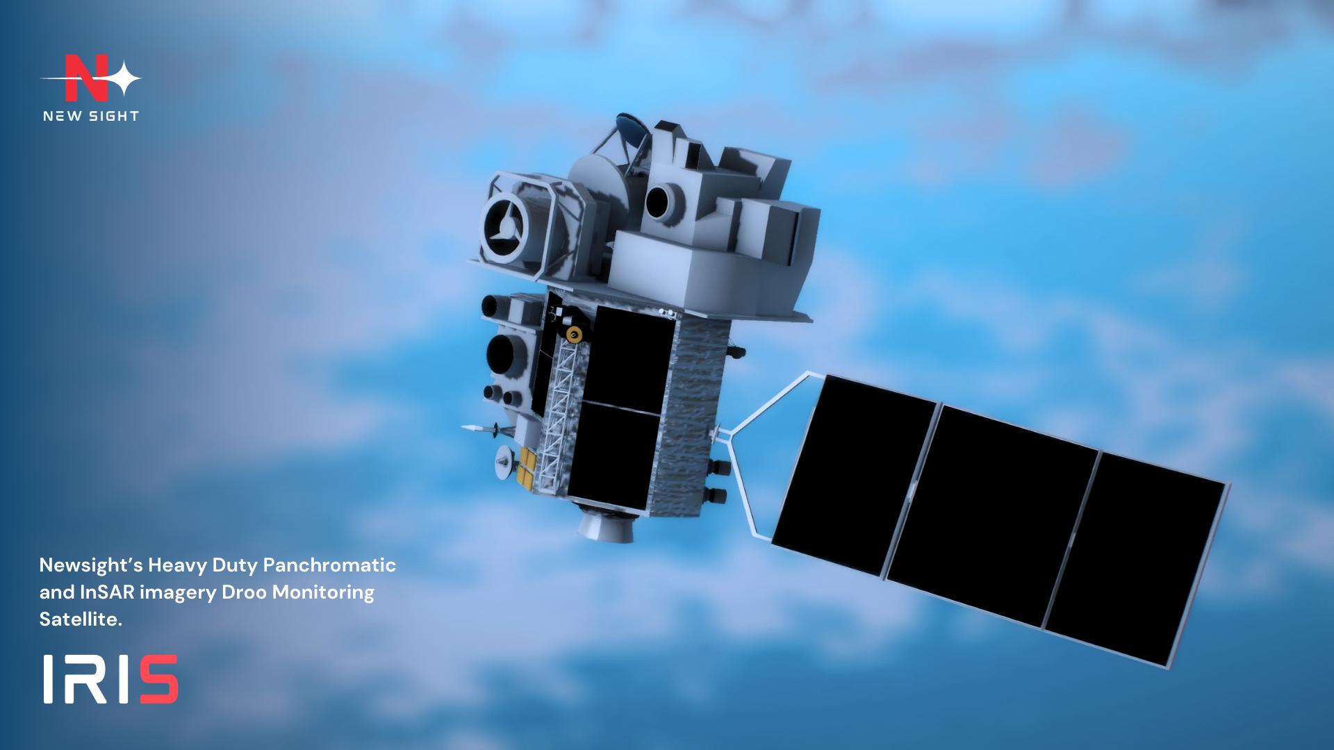
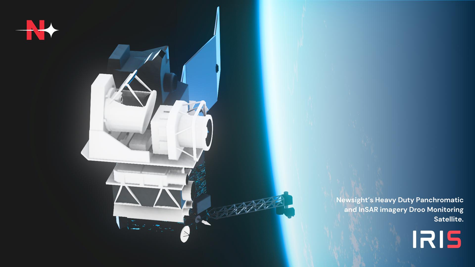
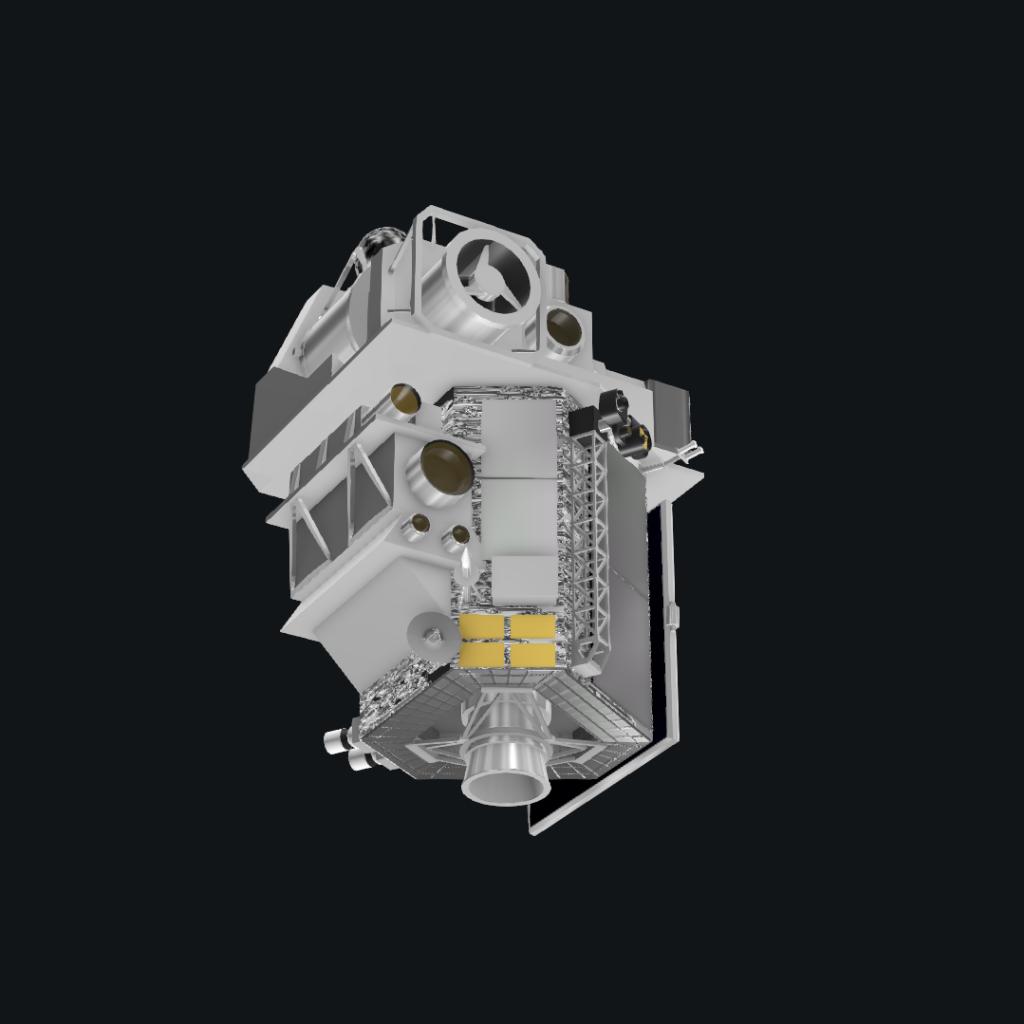
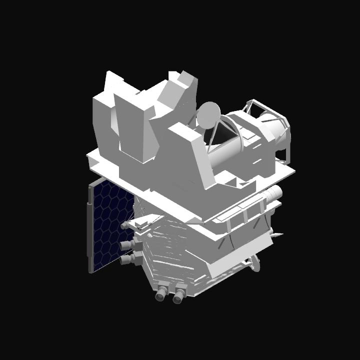
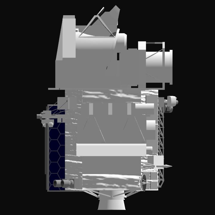
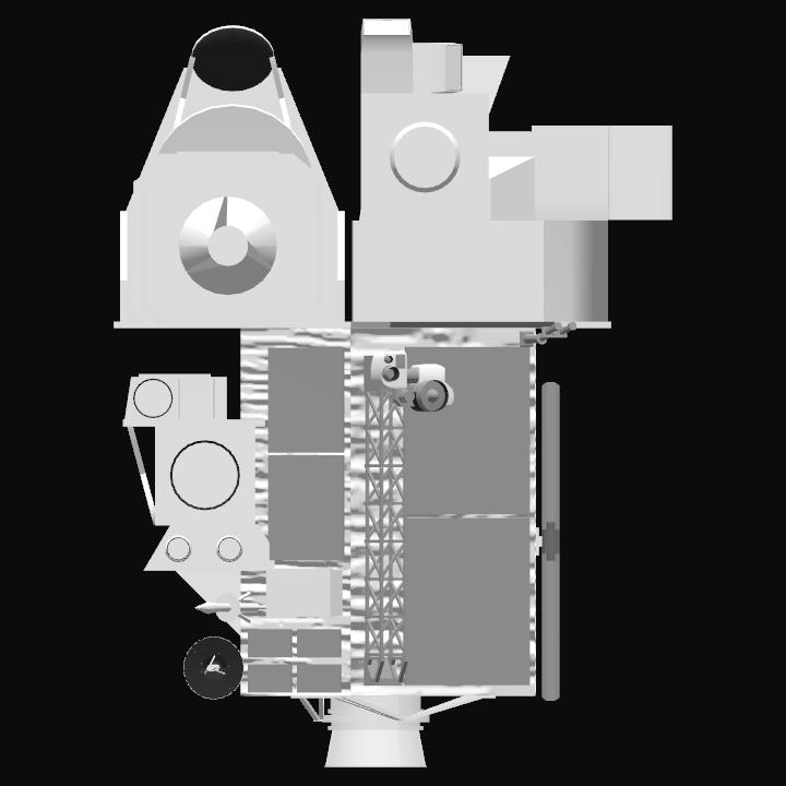
Iris by NewSight Industries is a cutting-edge heavy duty Earth Observation satellite designed for high-precision terrain mapping and environmental monitoring. Equipped with advanced InSAR and optical imaging technologies, Iris delivers detailed, real-time data for disaster management, urban planning, and climate research, providing unmatched accuracy for both commercial and scientific applications.


INSTRUMENTS
1. InSAR (Interferometric Synthetic Aperture Radar) – Enables precise ground deformation monitoring by analyzing radar wave interference, essential for earthquake, volcano, and landslide detection.
2. Multispectral Imager – Captures data across multiple spectral bands, supporting vegetation analysis, water quality assessment, and land-use classification.
3. Panchromatic Camera – Delivers ultra-high-resolution black-and-white imagery for detailed topographic mapping and infrastructure inspection.
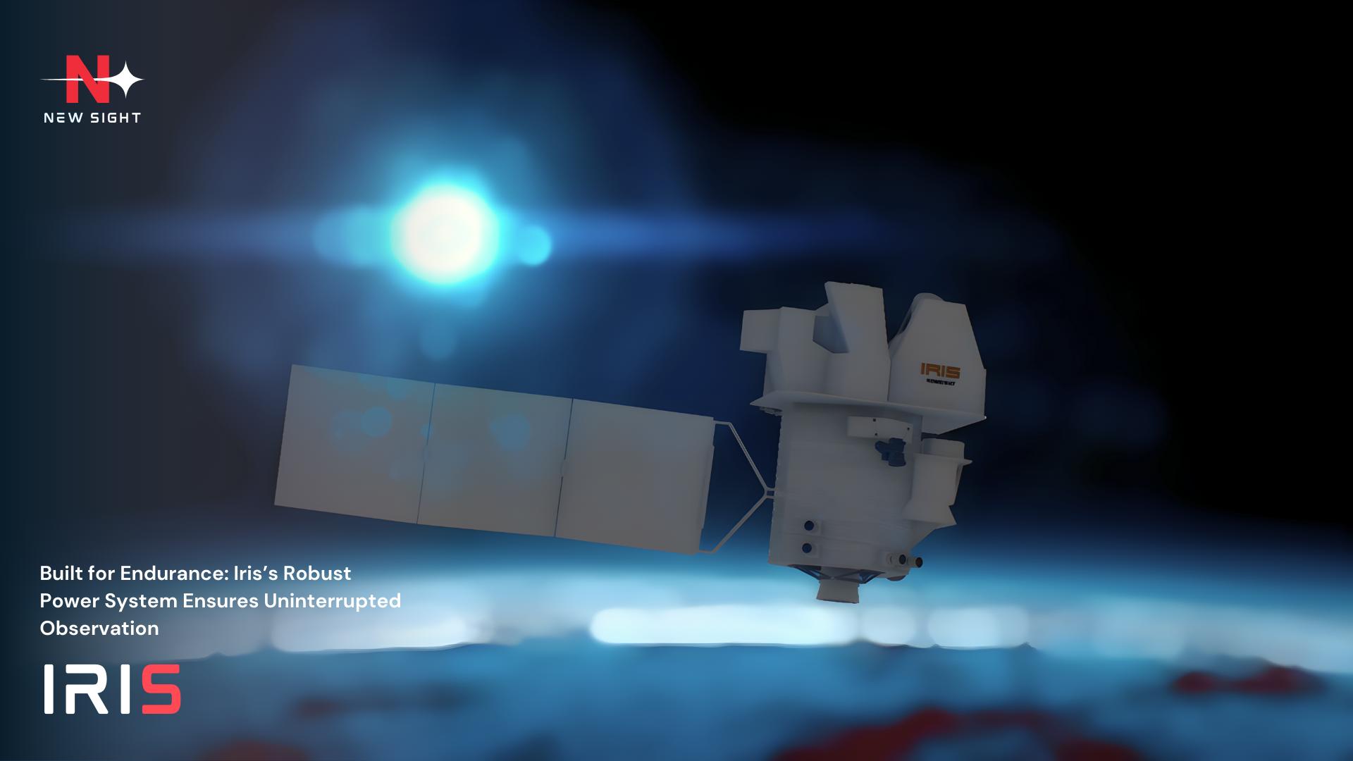
4. Battery and Power System – High-efficiency solar arrays and backup batteries ensure continuous operation, even during eclipses or high-demand phases.
Want to launch this?
If you have a launch service provider company, you are more than welcome to launch this satellite through your rocket. All you need to do is make an official booking for this satellite and launch it through your rocket at your own time and schedule.

GENERAL INFO
- Created On: Windows
- Game Version: 1.3.204.1
- Price: $297k
- Number of Parts: 601
- Dimensions: 5 m x 4 m x 4 m
PERFORMANCE
- Total Delta V: 0m/s
- Total Thrust: 47kN
- Engines: 1
- Wet Mass: 5,999kg
- Dry Mass: 5,999kg
STAGES
| Stage | Engines | Delta V | Thrust | Burn | Mass |
|---|---|---|---|---|---|
| 1 | 1 | 0m/s | 47kN | 0s | 5,999kg |
6 Comments
- Log in to leave a comment
-
-
2,791 NewSightyesterday
@VonKaramanIndustries Thank you very much ! your support is much appreciated
-
-
-


18 Upvotes
Log in in to upvote this post.
@QuantumSpaceJNO thanks !!