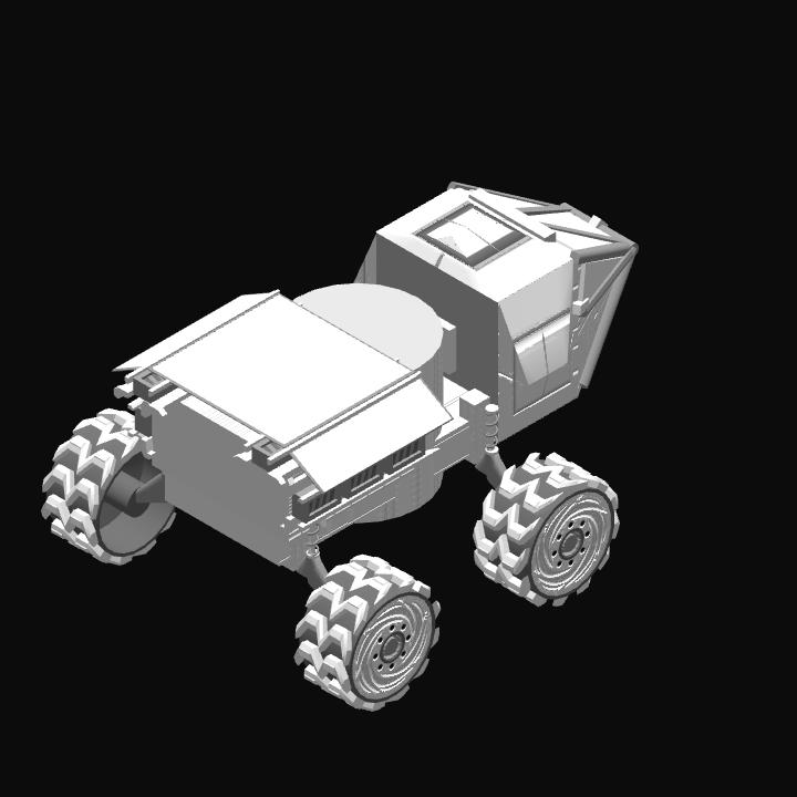
Description:
I’m so excited to share this craft with you! This is not the first terrain mapper (this one is awesome), but I think it’s the first one to incorporate a TextMeshPro real-time visual display.
Features/Instructions:
Check out this video for a demo of the system in action.
- Slider 1: increase/decrease grid width in km
- Slider 2: increase/decrease terrain color resolution
Comments
61 Upvotes
Log in in to upvote this post.


@Gozinya Hey I was wondering if it was possible to use your code for the terrain mapper on my new lander I had some other code that I was using in the vehicle already and I thought why not have the terrain mapper on the lander with a satellite on top that can it can disconnect in orbit and then the lander is the independent vehicle with the mapper as well. After a player lands they can use your rover so it wouldn't take away anything you've done. I can think of no greater program to use on my first lander and I would appreciate it if you would let me use it. I can't even upvote right now not enough points...
This is also very cool + useful
I made an MFD that only uses custom expressions/instructions, well except for the “if … then” blocks
and it works perfectly
i might incorperate this onto a craft soon because im running out of ideas...
o~o
so cool
ill make a topography satellite with this
Sick I can’t wait
@Loganswar425
Haha thanks! This feature now comes standard on the new MFD part. I’m working on an overclocked and upgraded version that uses the MFD.
Dude yo are amazing
@Gozinya awesome!
@Tweedle_Aerospace
Ok. You’re in for a treat.
@Gozinya you should remake it so that it shows up on the MFD’s. If that is possible.
Awesome Vizzy work, this definitely will be great for perfect save spots. Very useful creation. Funny thing is, it reminds me of the movie Predators vision lol. Awesome work
@Gozinya ok thanks.
@WereOutOfNamesArentWe
The colors represent the height of the terrain surrounding the craft.
@AGOSINDUSTRIES
In the program, there is a variable that you can change to add more pixels. The more you add, the longer it will take to refresh. The variable is called ‘GridWidthPixels’ and it’s the first one.
Could you add more pixels on the mapper display? To make the map clearer.
@NeonEndo
Yep just put the program on the craft of your choice (rover, satellite, ship, etc). The rover is not great.
@Gozinya Tried it, yep it works, but there's an issue, going forward also turns you to the left, for mobile anyways
@MirazAerospace I've seen that actually
@Gozinya I used your vizzy on my terrain mapping satellite
@CASXA
Yep works on literally any craft :-)
@NeonEndo
Yes it works...
Works on planes to0
i could stick this on on of my rovers and know the terrain around me as i go :3 <3